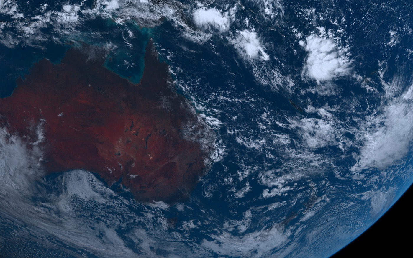
A desktop view for storm structure
Typhoons and hurricanes are easier to understand when you can see their structure: the eye, eyewall, spiral rainbands, outer cloud shield, and nearby islands or coastlines.
A typhoon satellite tracker wallpaper keeps that visual context on the desktop for weather enthusiasts who want to watch large systems evolve over time.
What LiveAtlas can and cannot do
LiveAtlas can make real satellite cloud imagery and typhoon context easier to see on macOS. It is not an official warning system and should not be used for emergency decisions, travel planning, or marine safety without checking official agencies.
The desktop wallpaper is best treated as ambient Earth observation: useful visual context, not a replacement for forecasts and warnings.
Useful companion searches
People searching for typhoon satellite tracker, hurricane satellite cloud map, western Pacific storm wallpaper, or tropical cyclone satellite view are often looking for the same thing: a clearer view of the storm than a small forecast icon can provide.
Related LiveAtlas pages
Try LiveAtlas
LiveAtlas is available on the Mac App Store and is designed for users who want a real satellite Earth view on their desktop.