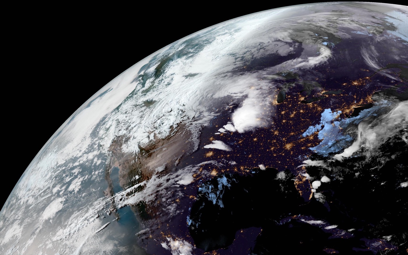
What a satellite cloud map shows
A satellite cloud map shows cloud patterns captured from space. Depending on the satellite, region, spectral channel, and processing method, the map may emphasize visible clouds, infrared temperature differences, water vapor, or a composite Earth view.
For LiveAtlas, the key value is the visual pattern of the atmosphere. Cloud systems make the wallpaper feel current without requiring a complex interface.
How to read the image at a glance
Large swirls often suggest organized low-pressure systems or tropical cyclones. Long bands can indicate frontal zones. Bright textured areas may show deep cloud development, while darker areas often indicate clearer sky or ocean/land background depending on the image style.
Why LiveAtlas fits cloud maps to the desktop
Raw satellite images are built for meteorological viewing, not always for desktop composition. LiveAtlas adapts imagery locally for wallpaper use so it looks calm, balanced, and readable on a Mac screen.
Related LiveAtlas pages
Try LiveAtlas
LiveAtlas is available on the Mac App Store and is designed for users who want a real satellite Earth view on their desktop.