Why GOES imagery matters
GOES imagery is commonly associated with weather monitoring over North America, South America, nearby oceans, and tropical development areas. It can reveal storm systems, fronts, cloud shields, and clear-air regions across a wide field of view.
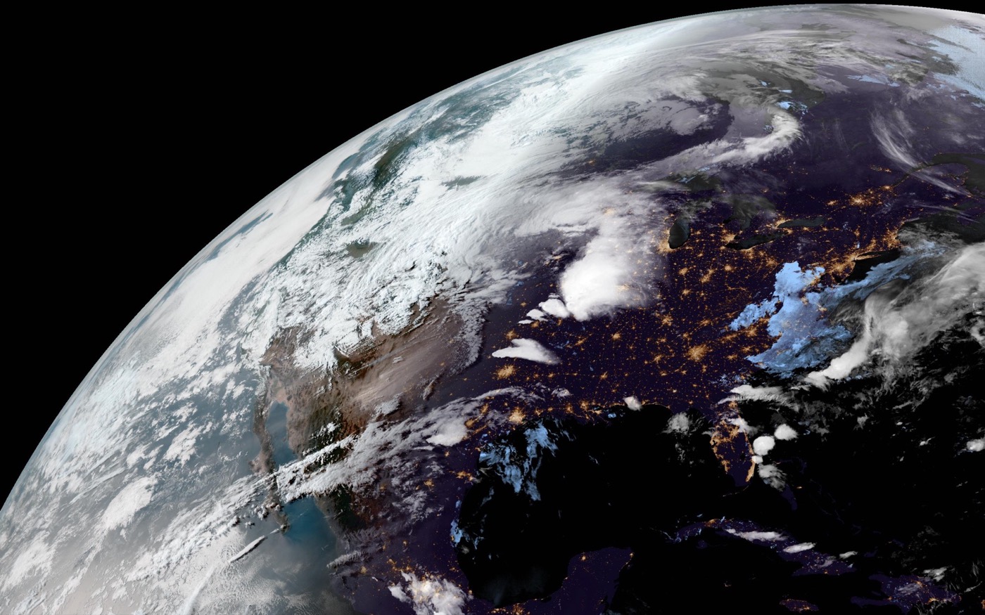
Wallpaper use case
For LiveAtlas, GOES-style regional imagery helps create a live desktop view for users interested in the Americas. The image is adapted for wallpaper use rather than presented as an official meteorological product.
Related pages
Try LiveAtlas
LiveAtlas is available on the Mac App Store and is designed for users who want a real satellite Earth view on their desktop.